Rare positive Southern Annular Mode event shifts Australia’s winter weather, boosts eastern rainfall
A daily Southern Annular Mode index reportedly pushed above +5 in late June, with Weatherzone cited at +5.06 on June 26 — an unusually strong signal now bending Australia’s winter weather out of its familiar grooves.
Harrison Lockwood, Lead Columnist on Systemic Justice & Climate Action·updated July 06, 2026
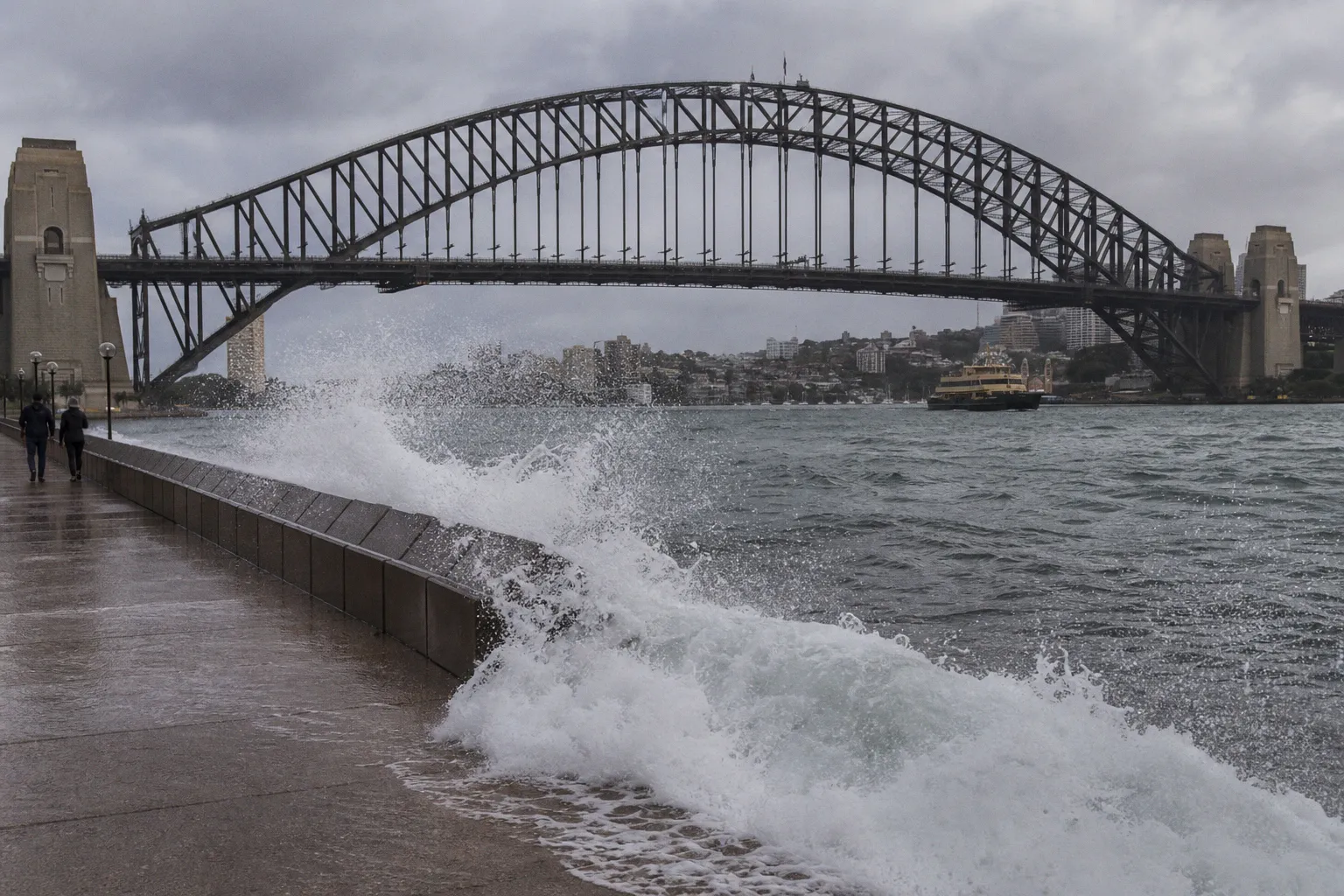
The wind belt moved, and the impacts moved with it
The Southern Annular Mode — also called the Antarctic Oscillation — tracks the north-south movement of the strong westerly winds circling Antarctica. In a positive phase, pressure drops over Antarctica while pressure rises across the southern mid-latitudes, pulling that belt of westerlies closer to the pole.
That mechanics matters. During Australian winter, a positive SAM typically means fewer cold fronts crossing southern Australia. At the same time, easterly airflow can strengthen and carry moisture into the east. The Bureau of Meteorology is cited as confirming that SAM remained positive and that positive winter SAM conditions generally increase rainfall over eastern Australia while reducing rainfall and snowfall across parts of southern Australia.
This week’s reported setup fits that pattern: two rain bands are delivering widespread rain to eastern and southeast inland Australia, helped by moisture-laden easterly winds. That is the practical headline. Eastern catchments may see useful rain; southern and alpine systems may see the other side of the same atmospheric transaction.
Rain in the east is not a free dividend
It is tempting to file “boosts rainfall” under good news. That is too lazy. Rainfall only helps if it arrives where systems can absorb it, when farmers, reservoirs, soils, roads, and emergency services are prepared for it. A circulation shift can fill a gauge and still expose brittle planning.
For readers in eastern Australia, the immediate work is basic but not optional: watch official forecasts, local flood guidance, catchment updates, and road warnings rather than treating a broad SAM signal as a local forecast. SAM describes a large-scale pattern; it does not tell you whether your paddock, suburb, or commute will be spared.
For people outside Australia, the lesson is just as blunt. Climate risk does not arrive only as heat records and wildfire smoke. It also arrives through circulation patterns that redirect moisture, change snowpack, and expose which communities have resilient infrastructure and which have been left to absorb volatility after years of underinvestment.
The alpine warning is structural, not sentimental
The Watchers reports that Australia’s alpine region is being starved of early-winter snow under the ongoing positive SAM, with ski resorts relying on artificially made snow in the absence of decent natural falls. Another snippet circulating through MSN separately refers to a rare polar blast bringing the biggest snow of winter to southeast Australia, but without full source text here, that claim should be treated narrowly: a headline signal, not a basis for broad conclusions.
The more important point is that alpine economies sit on a fragile material base. When natural snowfall falters, operators turn to manufactured snow. That is not resilience in the deep sense; it is substitution under pressure. It may keep runs open, but it also underscores how dependent winter tourism is on narrow weather windows and infrastructure that cannot manufacture an entire season out of thin air.
What to track next is concrete: whether SAM stays positive or weakens, whether cold fronts return to southern Australia, whether eastern rainfall becomes disruptive, and whether alpine snowfall recovers beyond artificial cover. The atmosphere is not issuing policy recommendations. But it is showing, again, how quickly regional winners and losers emerge when circulation patterns shift — and how little room there is for complacency dressed up as normal winter variability.